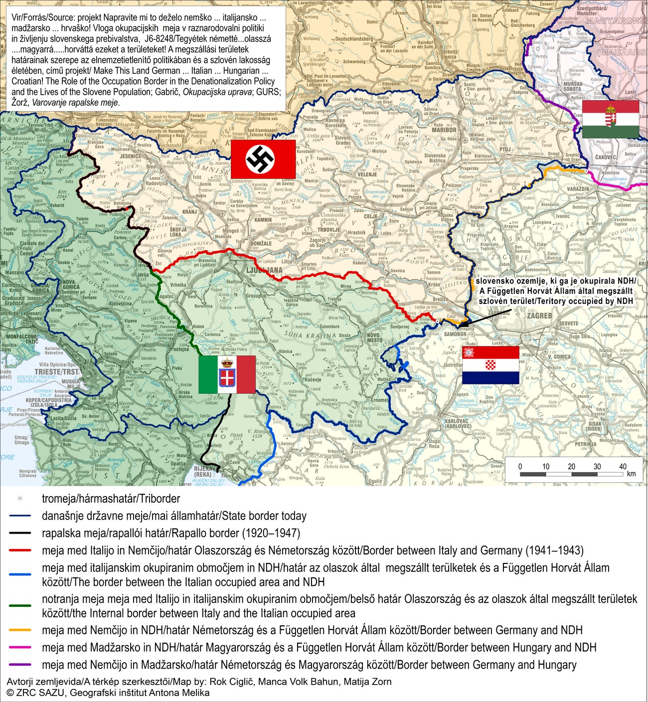
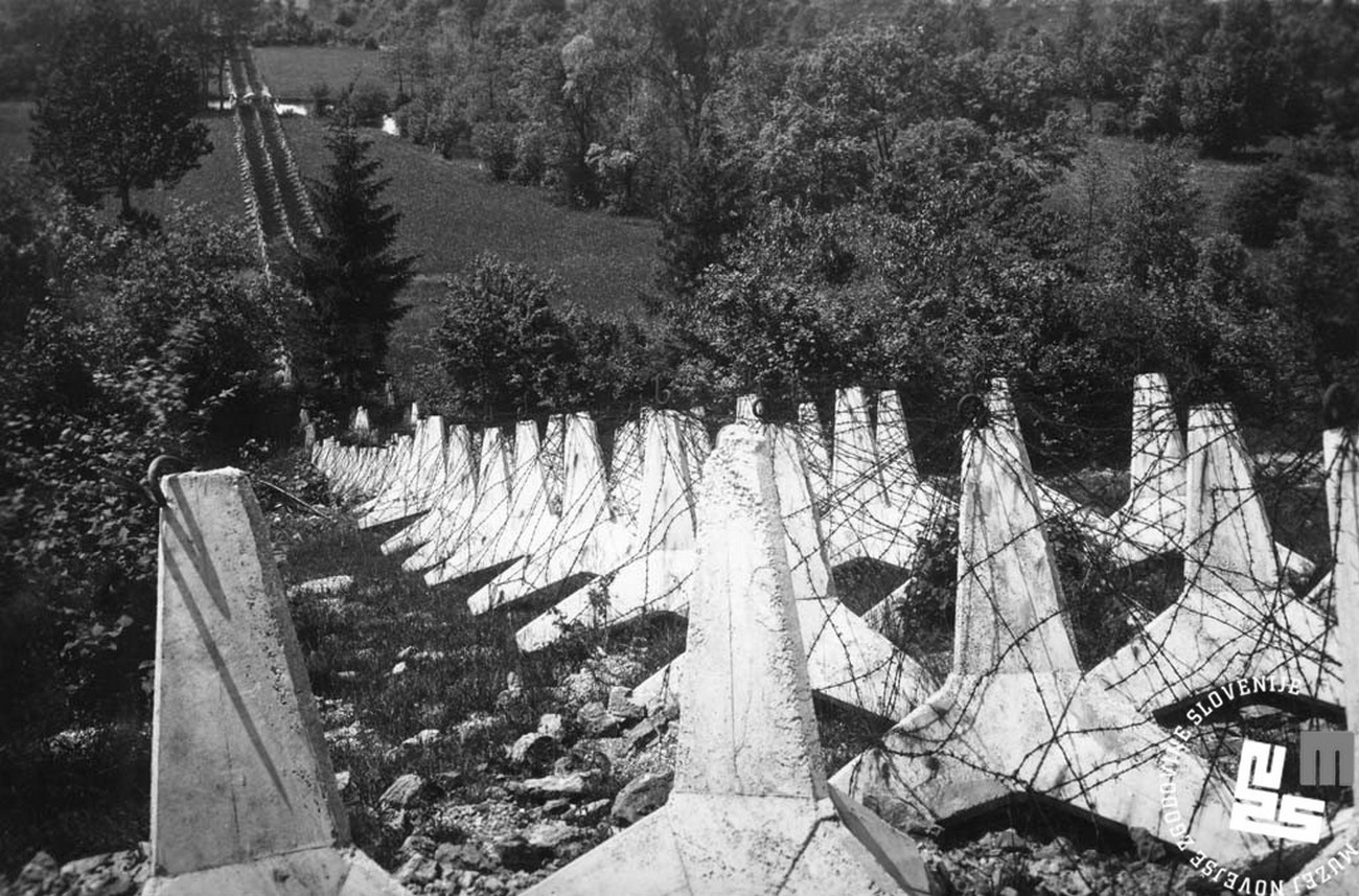
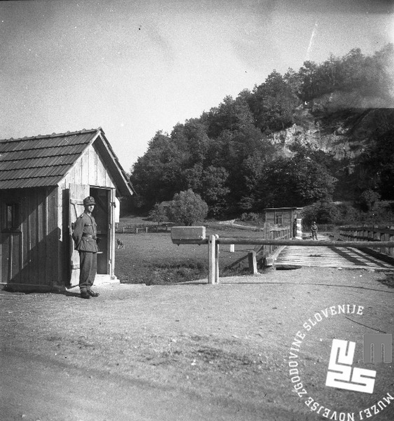
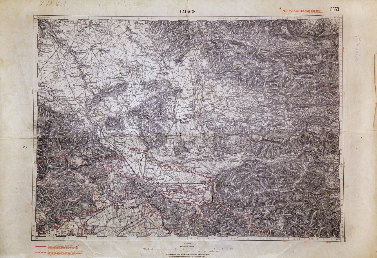
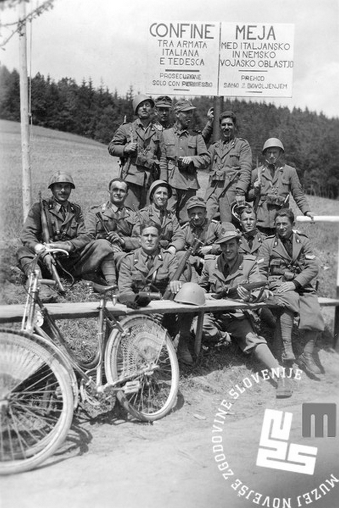
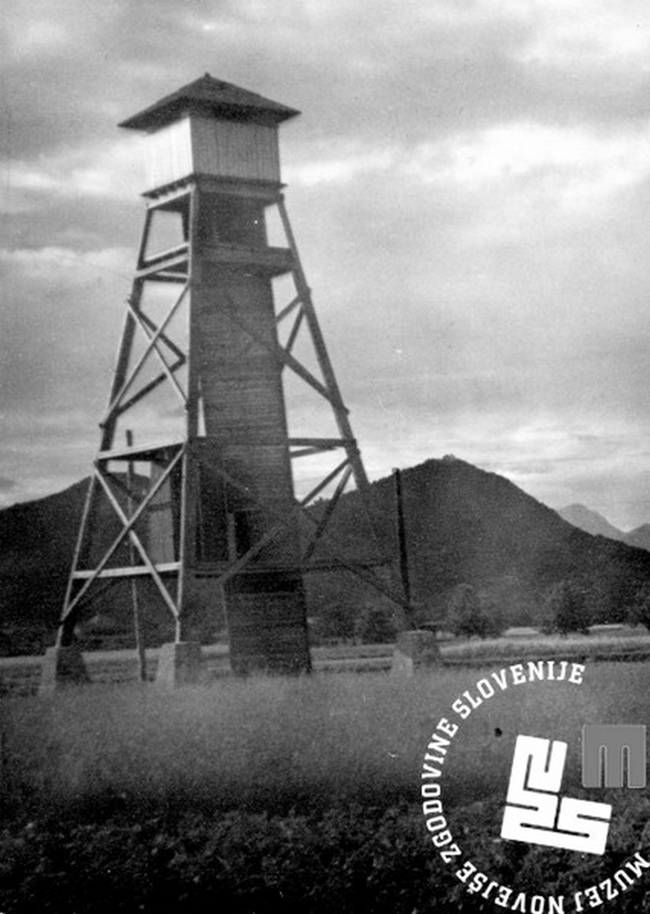
Nazi Germany: Germany divided the Slovene territory it had occupied into two temporary administrative units: Spodnja Štajerska and Gorenjska with Mežiška dolina. After a few months, the seats of these units were moved from the original locations in Maribor and Bled to Graz and Klagenfurt. They were run by Chiefs of Civil Administration. Anticipating quick incorporation of these two units into the Reich, they reorganised them from within, following the German principle of counties and districts, introduced German services, and complied with German race laws. The German border with the NDH and Italy became the southern border of the German Reich and was to be its safeguard.
Italy: after the attack of the occupying forces on Yugoslavia, Italy spread beyond the Rapallo border, acquiring the majority of the Dolenjska region, and Ljubljana with its surroundings all the way to the Sava River. In the newly acquired territories it established the so-called Province of Ljubljana, which was annexed to the Kingdom of Italy. It preserved the Rapallo border because it considered the Primorska region a part of the Italian national territory, and was about to Italianise the Province of Ljubljana. After the capitulation of Italy in 1943, the entire territory formally remained under Mussolini’s Fascist state, but had in fact been passed on to Nazi administration. The Province of Ljubljana became a part of the so-called Operational Zone of the Adriatic Littoral with a seat in Trieste.
Hungary: The Germans gave Prekmurje to the Hungarians. After assuming power, they enforced a military administration, which was divided into two parts and directly subordinate to the Headquarters of the Military-Administrative Group of the Southern Army, stationed in Subotica and later on in Novi Sad. In August 1941, they replaced the military administration with a civil one, thus beginning to integrate the occupied territory into the state of Hungary. They divided Prekmurje between two districts: Železna županija and Zala, as had been the case under Austria-Hungary.
Independent State of Croatia: The NDH was formed just after World War II began on Yugoslav soil. Five Slovene settlements fell under its rule in 1941, namely: Bregansko selo (the present-day Slovenska vas), Nova vas pri Bregani (the present-day Nova vas pri Mokricah), Jesenice na Dolenjskem, Obrežje and Čedem. These villages cover a territory of around 20 square kilometres, at that time populated by some 800 inhabitants.
