Make This Country German ... Italian ... Hungarian ... Croatian! Role of Occupation Borders in the Denationalisation Policy and in the Lives of Slovene Population
World War II marks one of the most critical moments in Slovene history. Four occupation regimes – German, Italian, Hungarian and the regime of Ustasha Croatia – divided Slovenes among four different state entities and ethnically speaking sentenced them to death, including by using methods of genocide.
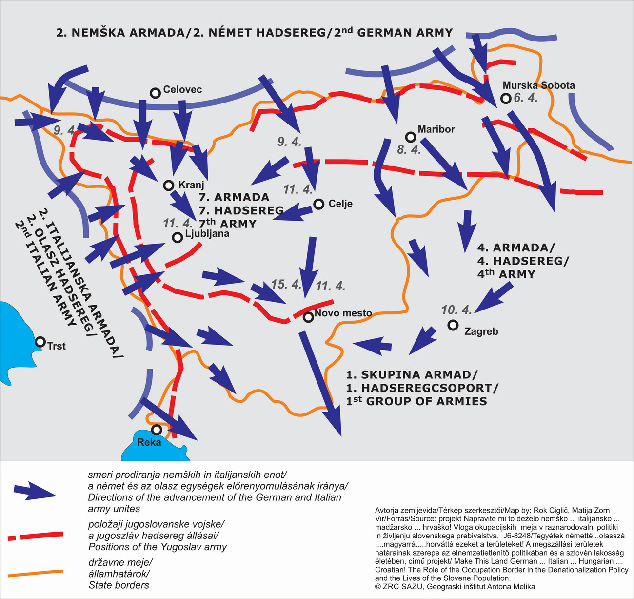
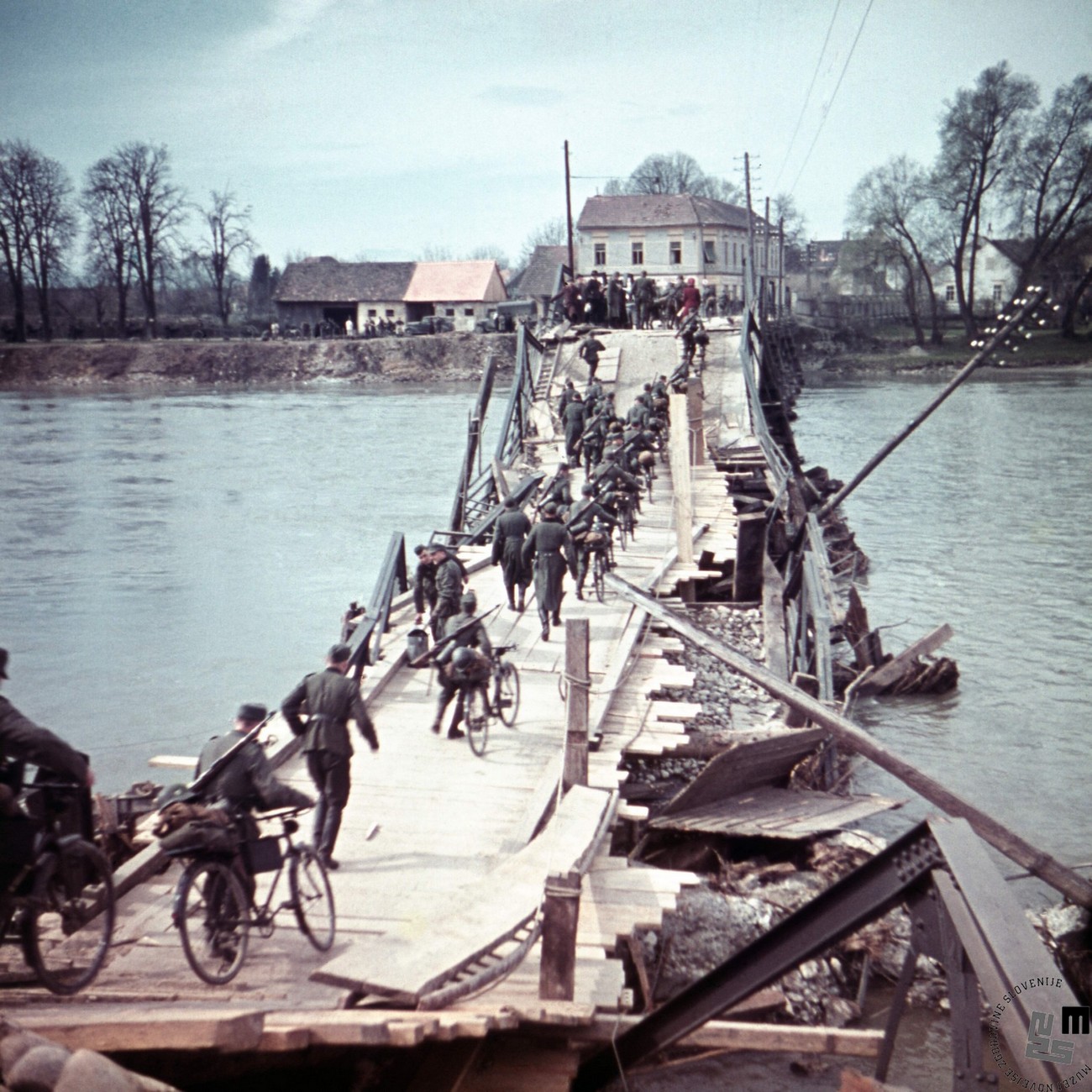
One of the key motives for World War II was the revision of state borders which had been formed after World War I. This revision was carried out to the detriment of smaller nations, including the Slovene one. After the occupation and dismemberment, state borders between the Axis powers were established in Slovene lands. The borders were set according to the logic of territory division and the planned swift and violent disappearance of the Slovene nation. Only the border with the Independent State of Croatia (Nezavisna Država Hrvatska, NDH) followed the former rough ethnic division of the territory or (partially) the old administrative borders. It is also the only border which has been preserved to this day.
The German Reich acquired the territories of the regions of Gorenjska, Koroška, Štajerska, the northwest part of Prekmurje and the northern part of Dolenjska. Italy occupied the Notranjska region, Ljubljana, remaining part of Dolenjska and Bela krajina. Hungary occupied most of Prekmurje, while the NDH occupied five villages in Posavje. The border between the occupation zones did not follow the historical, administrative or provincial/ethnic border.
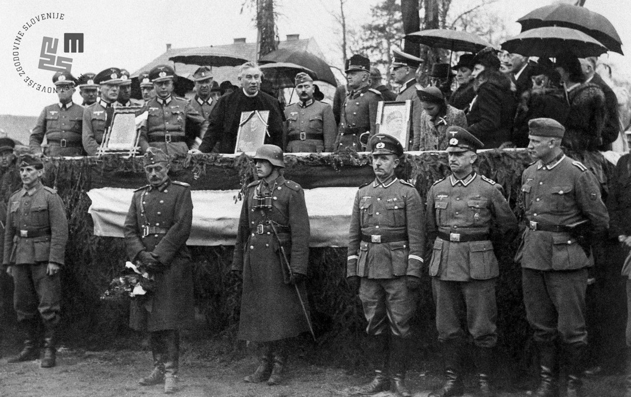
As regards the procedures for dividing the occupied Slovene territory among the occupiers, no special conferences were held to explicitly negotiate the breaking up of Slovene territory. The only one who decided which piece of territory would go to which occupier and where the borders would be drawn was Hitler. His allies did, however, have many comments but they mostly went unheard. Thus, the boundaries were fixed on 12 April 1941 based on Hitler’s instructions for breaking up Yugoslavia.
All occupiers enclosed their part of the territory by boundaries that separated individual occupation zones. When the demarcation took place, the occupiers signed special intergovernmental agreements.
